
Introduction
Maps have always been central to human understanding of the world. They help us visualize continents, countries, oceans, and borders, making geography tangible and accessible. Among the many types of maps, the blank world map stands out as a versatile educational tool. Unlike detailed maps filled with names and labels, blank maps strip away distractions, leaving only outlines. This simplicity transforms them into powerful instruments for learning, exploration, and creativity. Whether used in classrooms, research, or personal projects, blank world maps encourage active engagement with global knowledge.
Understanding Blank World Maps
A blank world map is essentially a simplified representation of Earth without labels. It may show only the outlines of continents, countries, or major features. There are several variations: political blank maps highlight country borders, physical blank maps emphasize landforms, and outline maps provide just the skeletal framework. Each type serves a unique purpose, depending on the context in which it is used.
The primary advantage of blank maps lies in their flexibility. Students can fill them in with country names, capitals, rivers, or mountain ranges. Researchers can use them to mark data points, while travelers can plot routes. By removing pre-printed information, blank maps invite interaction, making learning more active and memorable.
Another benefit is adaptability. Teachers can tailor blank maps to suit different age groups and subjects. For younger learners, simple outlines help with basic geography. For advanced students, detailed borders allow for complex exercises like tracing historical changes or analyzing geopolitical issues.
Educational Uses of Blank World Maps
Blank world maps are indispensable in classrooms. They provide a hands-on way to learn geography, encouraging students to recall and apply knowledge rather than passively observe. For example, filling in country names helps with memorization, while marking capitals strengthens spatial awareness.
In history lessons, blank maps become storytelling tools. Teachers can illustrate the rise and fall of empires, migration patterns, or trade routes. Students can visualize how borders shifted over centuries, making abstract historical events more concrete.
Blank maps also foster interactive learning. Teachers can organize map quizzes, group activities, or competitions where students race to label countries correctly. Such exercises not only make learning fun but also enhance teamwork and critical thinking.
Beyond geography and history, blank maps support cultural studies. Students can mark languages, religions, or traditions across regions, gaining a deeper appreciation of global diversity. This multidisciplinary use makes blank maps a cornerstone of holistic education.
Practical Applications Beyond Education
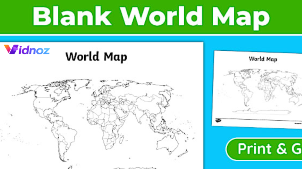
The utility of blank world maps extends far beyond classrooms. Travelers often use them to plan journeys, marking destinations and routes. This visual planning makes trips more organized and exciting.
Researchers and academics rely on blank maps to present findings. For instance, environmental scientists may plot climate data, while economists may illustrate trade flows. The clarity of blank maps ensures that data is easy to interpret.
Creative professionals also find value in blank maps. Artists may use them as canvases for storytelling, while writers may design fictional worlds based on real geography. Even in design projects, blank maps serve as templates for infographics, posters, or presentations.
Thus, blank world maps are not just educational tools—they are versatile resources that adapt to countless fields.
Digital vs. Printable Blank World Maps
In today’s digital age, blank maps are available in both printable and interactive formats. Digital maps offer customization, allowing users to zoom, color, and annotate with ease. They are ideal for online learning, presentations, and collaborative projects.
Printable maps, however, retain their charm. They provide a tactile experience, encouraging learners to physically write, draw, and engage with the material. For classrooms without digital access, printable maps remain essential.
The best approach often combines both. Teachers may use digital maps for demonstrations and printable maps for practice. Reliable sources such as educational websites, geography portals, and academic publishers provide high-quality blank maps in both formats.
Conclusion
Blank world maps are more than outlines on paper—they are gateways to knowledge, creativity, and exploration. By encouraging active participation, they transform learning into an engaging experience. From classrooms to research labs, from travel planning to artistic projects, blank maps prove their versatility time and again. Integrating them into daily learning not only strengthens geographical knowledge but also fosters a deeper connection with the world.
FAQs
What is the best way to use a blank world map for study?
The best way is to actively fill in countries, capitals, and landmarks. Repetition and practice make memorization easier.
Where can I download free blank world maps?
Educational websites, online geography portals, and academic resources often provide free printable and digital maps.
Can blank world maps be used for history lessons?
Yes, they are excellent for tracing historical events, migrations, and border changes across centuries.
Are digital blank maps better than printable ones?
Both have unique advantages. Digital maps allow customization, while printable maps encourage hands-on practice.
How do teachers make blank maps engaging for students?
Teachers can use quizzes, group activities, and creative assignments to make blank maps interactive and fun.
Next Read: amazon canada